
In the dense forests of Asia, where the elusive tiger prowls, there’s an unexpected ally watching over its every move—not from the ground, but from the vast, silent expanse of space. Satellites, orbiting Earth at unimaginable speeds, have emerged as powerful tools in the fight to save one of the planet’s most endangered species.
The Silent Watchers in the Sky
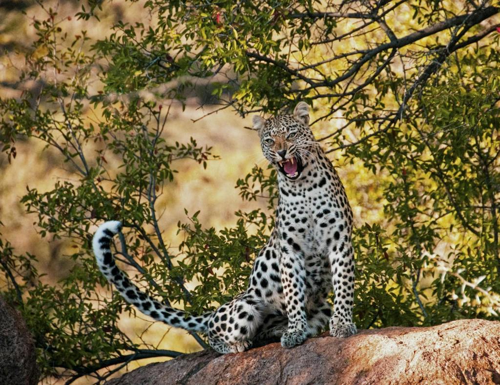
Tigers, with fewer than 4,000 individuals left in the wild, face threats from habitat loss, poaching, and human encroachment. Traditional conservation methods, while invaluable, often fall short in tracking the vast territories these big cats roam. Enter space technology—a game-changer that provides a bird’s-eye view of the natural world, enabling conservationists to monitor tiger habitats from thousands of kilometers above the Earth’s surface.
Satellites like NASA’s Sentinel-1 and Sentinel-2, along with commercial platforms such as Planet Labs’ Dove constellation, capture high-resolution images and data that reveal subtle shifts in vegetation, land use, and even signs of illegal activities like logging and poaching. These satellites operate in low-Earth orbit, skimming between 500 and 1,200 kilometers above the planet, while others, like NOAA’s GOES satellites, remain in geostationary orbit, continuously observing specific regions.
Mapping Tiger Habitats with Precision
Using satellite data, researchers can map not just where tigers are currently found but also identify potential new habitats where they might thrive. This is crucial because it helps to create Tiger Conservation Landscapes (TCLs)—regions identified as critical for tiger survival. These landscapes, marked on satellite-derived maps, represent strongholds that support not just tigers but entire ecosystems rich in biodiversity.
NASA’s collaboration with the Wildlife Conservation Society (WCS) has been pivotal in this effort. By analyzing near-real-time satellite imagery, scientists can detect changes in tiger habitats, monitor ‘empty forests’ (areas suitable for tigers but currently uninhabited), and identify regions where reintroduction efforts could be successful. This approach has the potential to increase tiger habitats by as much as 50%, offering new hope for the species.
AI: The Data Detective
The power of satellites is amplified by artificial intelligence. Machine learning algorithms sift through vast amounts of satellite imagery, identifying patterns and anomalies that would be impossible for human eyes to detect. These algorithms can pinpoint areas of deforestation, track the movement of wildlife corridors, and even detect signs of illegal activities in real-time.
For example, when monitoring tiger territories, AI can help distinguish between areas of natural habitat loss and those affected by human development. This insight allows conservationists to prioritize areas for protection and restoration more effectively.
Beyond the Tigers: A Global Impact
While satellites focus on tiger conservation, their applications extend to broader ecological monitoring. In the Amazon, for instance, satellites detect illegal deforestation, monitor forest health, and even measure carbon emissions. This data not only supports biodiversity conservation but also aids in climate change mitigation strategies.
Moreover, satellite technology fosters global collaboration. Conservationists, researchers, and policymakers from around the world can access the same data, enabling coordinated efforts to protect wildlife and their habitats.
The Challenges and the Future
Despite their transformative potential, satellites are not without challenges. The environmental cost of launching and operating satellites, issues with space debris, and the need for advanced computational infrastructure pose significant hurdles. Additionally, while satellite data is invaluable, it must be complemented by on-the-ground efforts to ensure comprehensive conservation strategies.
However, the future looks promising. The development of smaller, more efficient satellites, coupled with advancements in AI and data analytics, promises to make space technology even more accessible and impactful. Projects like Planet Labs’ Project Centinela are already providing high-resolution imagery of biodiversity hotspots, helping conservationists focus their efforts where they are needed most.
A Call to Action
Satellites may be the eyes in the sky, but it’s up to us to act on what they reveal. The fight to save tigers—and the ecosystems they inhabit—is not just a battle for a single species but a testament to our commitment to preserving the planet’s biodiversity.
As the godwit flies across continents and the tiger prowls through fragmented forests, satellites continue to watch from above, offering us a choice: to turn a blind eye or to rise as stewards of the natural world. The data is there, the technology is ready, and the question remains—will we answer the call?


Leave a comment